
Summary
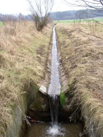
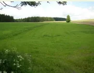
The Cechticky stream catchment case study is located at the Central Bohemian Region of the Czech Republic. The catchment area is about 72 km², most of which is used as agricultural land (69%). Fifty nine percent of which is cropland. Čechtický stream catchment is a part of the Želivka river basin, which includes the Švihov drinking water reservoir. The reservoir is currently facing persistent problems with poor water quality linked to phosphorus, nitrogen and pesticide pollution. The area is also threatened by soil erosion in large fields as well as poor soil quality linked to dehumidification, soil compaction and increasing periods of drought. Tile drainage is common in the area and issues linked to technical failures, unintended runoff and poor quality are increasing.
OPTAIN aims to develop strategies and advanced tools for designing and evaluating the effectiveness of Natural Small Water Retention Measures taking into account the principles of their feasibility in small agricultural river basins in terms of increasing water accumulation and retention and improving water quality. Emphasis will be placed on measures on agricultural drainage systems in terms of possibility of their modernization, regulation, professional elimination.
Photo gallery

Overview
| Authority type | Authority name | Authority role | Authority responsibility |
|---|---|---|---|
| Research institute / University | VUMOP (Research Institute for Soil and Water Conservation) | Determination of design details of the measure | Responsible |
| Farmers | Farmers and land owners | Implementation | Responsible |
| Other | State Land Office (Land Consolidation) | Initiation of the measure | Responsible |
Site Information
Design and Implementation
Financing
No information provided for this section.
Policy and Governance
| Requirement directive | Specification |
|---|---|
| Water Framework Directive (WFD) 2000/60/EC | — |
| Other EU | Sustainable Use of Pesticides Directive – 2009/128/EC |
| Nitrate Directive (NiD) 91/676/EEC | — |
Impacts and Monitoring
Biophysical impacts: Water & Soil Quality
Lessons Learned
Sources
No information provided for this section.