
Summary
HU: The Hungarian part of Kebele catchment with its 209 km2 size is located in the south-western corner of the country, in the West-transdanubian Water Directorate’s operational area, as part of the Drava sub-basin and Mura sub-unit. About 60% of the area is agricultural land, typically with wheat, barley, corn cultivation and pasture management. The Kebele Valley and Szentgyörgyvölgyi stream valley is NATURA 2000 classified. Main challenges identified in the area: management of nitrate-sensitive areas, prevention and mitigation of soil erosion and flash floods.
The Hungarian-Slovenian cross-border water cooperation dates back to 1994.
SI: The Slovenian part of Kobiljski potok (Hungarian "Kebele") is located in the Pomurska region and forms part of a transboundary agricultural catchment shared with Hungary. The area is characterized by intensive cereal production and pig farming, with sections falling under Natura 2000 and designated water protection zones. Key challenges include seasonal droughts, flood risk during heavy rainfall, limited space for buffer strips, and low groundwater availability for irrigation due to extensive drainage infrastructure.
OPTAIN seeks to identify efficient NSWRM to better adapt to extreme events (floods, droughts) and reduce conflicts between agricultural water uses and other human and environmental demands on water in small catchments across Europe in close cooperation with local actors.
Photo gallery
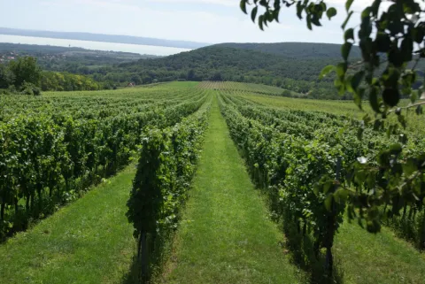


Overview
Site Information
SI: Average slope: 10–12%
SI: arable land, grassland, meadows,forest
Design and Implementation
SI: rural, urban (towns)
Financing
No information provided for this section.
Policy and Governance
Impacts and Monitoring
No information provided for this section.
Lessons Learned
No information provided for this section.
Sources
No information provided for this section.