
Summary
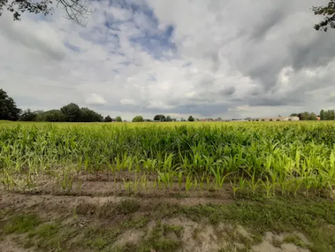
The Wimbe basin is about 112 km2 in size and is classified as a continental bioregion. The basin consists of the water bodies LE8-10. The municipalities within the basin are Daverdisse, Wellin, Beauraing, Gedinne and Rochefort. The basin’s land use is 2% urban, 21% arable, 11% pasture and 66% forest. The region where the stream flows is representative of the Famenne schisteuse and the landscape is open. The region is vulnerable to both floods and low flows. The area is also vulnerable to nitrate concentration in water that is exceeding or is likely to exceed 50 mg/l, may have undergone or likely to undergo eutrophication.
The OPTAIN project will support the case study team with identifying and developing efficient land management strategies and small technical solutions to improve the soils’ infiltration and water holding capacities as well as its capacity to filter, buffer and transform pollutants.
Photo gallery


Overview
| Authority type | Authority name | Authority role | Comments |
|---|---|---|---|
| NGO | Natagriwal | Determination of design details of the measure | They advise farmers, land owners related to implementing the measures, also support related to the administrations, regarding the design, yes to some extent they do this. They are “A non-profit association or ASBL |
| NGO | Natagora | Implementation | They implement the measures to some extent, or help in implementing the measure. They also maintain the measures that they implement. |
| NGO | CRLesse | Implementation | They implement measures via the funding given to them by the government. They are “A non-profit association or ASBL. Their role is to bring together all water users with the aim of maintaining or restoring good ecological status of the water, through concerted management, each within the framework of their responsibilities." |
Site Information
Design and Implementation
No information provided for this section.
Financing
Policy and Governance
The project will be implemented in coordination with the following stakeholders: Contrat de rivière Lesse; Parc Naturel de l’Ardenne Méridoniale; Natagriwal; Natagora; Fédération Belge du Secteur de l’eau Belgaqua; Public Service of Wallonia (SPW) Agriculture, Natural resources, Environment; Fédération Wallonne de l’Agriculture; Province Namur Cellule Cours d’Eau, Commune de Daverdisse, and local farmers.
| Requirement directive |
|---|
| Common Agriculture Policy |
| Nitrate Directive (NiD) 91/676/EEC |
| European Natura 2000 Network |
| Wider plan type |
|---|
| Regional |
Impacts and Monitoring
Monitoring System
Lessons Learned
| Driver type | Driver role | Comments |
|---|---|---|
| Other | Main driver | landowners, land users |
| Organisation committed to it | Main driver | Policy makers and advice of experts to policymakers |
| Success factor type | Success factor role | Comments |
|---|---|---|
| Available support tools | Main factor | Incentives |
| Existing staff and consultant knowledge | Main factor | Assistance from non profit organizasation |
| Existing regulations | Main factor | Legislation |
Sources
No information provided for this section.